Maps of Lyme Regis
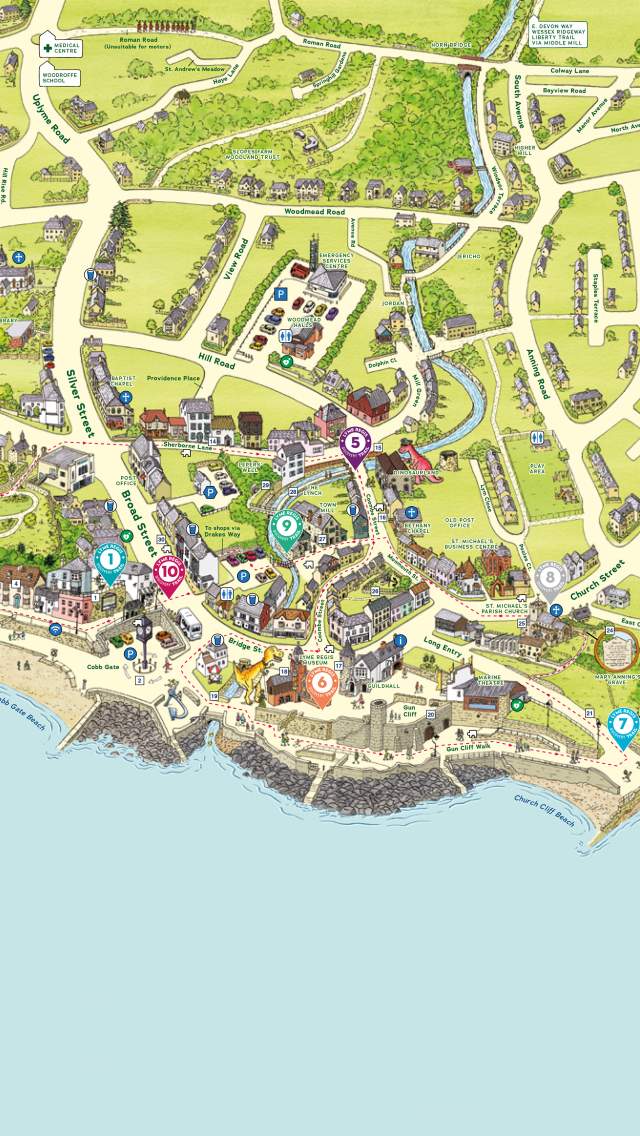
There are two maps of Lyme Regis which you can download to view online or print at home to bring with you on holiday.
The black and white map shows places of interest, beaches, attractions, car parks, public toilets, churches, footpaths.
The pictorial colour map shows the 10 locations of places to visit on the Lyme Regis Discovery Trail as well as beaches, the free WiFi zone, places of interest, pubs, car parks, public toilets and places of worship.


